Critical Review of Street Connectivity Between Tejgaon Industrial Area and Adjacent Hatirjheel Development
Abstract:
Tejgaon’s development process was initiated in the 1950s by the Department of Public Works (PWD) as an industrial zone and it was also indicate in the first master plan of Dhaka (1959). In1968, Tejgaon was designed as light industrial area by the Dhaka Improvement Trust (DIT). After Liberation war in 1971 Tejgaon become the most sought after place for industrial activity for not only its being on the outskirts of the than city center but also for the rising demand for the growing population of Dhaka. Several residential areas were developed beyond Tejgaon industrial areas (TIA) resulting in the rapid transformation of land use at this point into a mixed use development changing the physical characteristics of TIA. Responding to this transformation, the Government of Bangladesh has decided to develop Tejgaon industrial area as commercial cum residential hub.
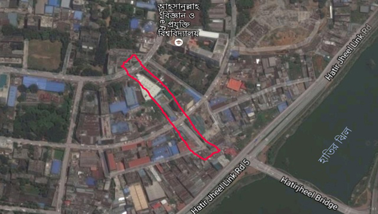
At the same time low lying areas i.e. Hatirjheel area on the south of TIA was developed to connect the northern residential areas (beyond TIA) with the older urban core. TIA thus came in between Hatirjheel development and Northern residential areas as such requiring rethinking of the street connectivity in the area. Transformation of TIA and the development of Hatirjheel provides an opportunity to rethink about the connectivity of road network. This study critically reviews the street connectivity between TIA and the adjacent new Hatirjheel development. It is identified that the new Hatirjheel development did not take note of the older TIA road network thus creating problem of urban mobility and integration. This study aims at identifying the street connectivity by quantitative and qualitative method using tools like Depthmapx10 to understand the new dynamics and suggest measures for better urban mobility.
Author(s):
Sharif Tousif Hossain, Department of Architecture, Stamford University Bangladesh, Dhaka-1209, Bangladesh
DOI:
https://doi.org/10.15415/cs.2020.81001
Keywords:
Hatirjheel development, Street connectivity, Tejgaon industrial area, Changing land use and urban mobility
References:
Alba, C.B., & Beimborn, E. (2005). Analysis of the Effects of Local Street Connectivity on Arterial Traffic. Presented at 84th Annual Meeting of the Transportation Research Board, Washington, D.C.
Ahmed, S.U., & Mohuya, F.A. (2013). Growth and Development of Dhaka North: 1971-2011. Journal of the Asiatic Society of Bangladesh (Hum.), 58(2), 303-334.
Barua, S., Alam, D., & Roy, A. (2013). Modal Integration for Improving Urban Mobility in Dhaka. Third International Conference on Urban Public Transportation Systems, November 17-20, 2013.
American Society of Civil Engineers. https://doi.org/10.1061/9780784413210.017 DOI: https://doi.org/10.1061/9780784413210.017
BBS (2011). Population & Housing Census 2011. Retrieved September 01, 2015, from http://www.bbs.gov.bd/PageWebMenuContent.aspx?MenuKey=337.
Das, A., Taher, S.A., & Salam, M.A. (2015). A study on development trend of Tejgaon industrial area. Unpublished Department of Urban and Regional Planning. Bangladesh University of Engineering and Technology (BUET).
Das, A., Haque, A., Salam, M.A., & Taher, S.A. (2015). A study on development trend of Tejgaon Industrial Area. Bangladesh planning research conference (BPRC). Paper ID: 719.
Hussein, M.M.F. (2015). Urban regeneration and the transformation of the urban waterfront: A case study of Liverpool waterfront reneration. Thesis submitted to the University of Nottingham for the degree of Doctor of Philosophy, April 2015.
Kabir, A. and Parolin, B. (2013). Planning and Development of Dhaka – A Story Of 400 Years. 15th International Planning History Society Conference, New South Wales, Australia.
Khan, B.M., Islam, R.M., & Jahan, I. (2005). Changing Land Use Pattern of Tejgaon Industrial Area and Its Impact on Surrounding Areas. Unpublished Burp Thesis, Department Of Urban And Regional Planning, Bangladesh University of Engineering and Technology.
Lehigh Valley Planning Commission (Lvpc) (2011). Street Connectivity Guidance Document. Retrieved from https://lvpc.org/pdf/streetConnectivity.pdf.
Mowla, Q.A., & Khaleda, S. (1999). Safer Urban Environment: A Case of Dhaka’s Transportation and Traffic. Khulna University Studies 1(2), 169-176.
Mowla, Q.A. (2012). Water Based Urbanization: An Analytical Study On Dhaka. The International Conference on Civil Engineering For Sustainable Development (Iccesd 12), 2-3 March, 2012 Kuet. pp.23-29, Khulna.
Mowla, Q.A., & Mozumder, M.A.K. (2017). Addressing The Traffic Jam in Dhaka – A Pragmatic Approach. Bup Journal, 5(2), 16-34.
Oakil, A.T.M., & Sharmeen, F. (2007). Commercialization of Tejgaon Industrial Area, Dhaka: An Environmental Evaluation. Journal of Environmental Science, 5(9), 81-94.
Portland Metro (2004). Street Connectivity: An Evaluation of Case Studies in the Portland Region. Report No. 2004-11008-Pln. Retrieved from http://library.oregonmetro.gov/files/connectivityreport.pdf
RAJUK (1995). Dhaka Metropolitan Development Plan. Vol-1: Dhaka Structure Plan, Rajuk, Dilkusha C/A, Dhaka-1000, Bangladesh.
RAJUK (2004). Preparation of Detailed Area Plan (DAP) for DMDP Area: Group-C, Rajuk. Retrieved February 23, 2015, from http://www.rajukdhaka.gov.bd/rajuk/image/dap/groupC_Report/Chapters_c.pdf
The Daily Star. (2019). Tejgaon to Become Industrial Commercial Residential Area. Retrieved From: https://www.thedailystar.net/tejgaon-to-become-industrial-commercial-residentialarea-40760
Utha Street Connectivity Guide. (2017). Retrieved From: https://mountainland.org/img/transportation/Studies/Utah%20Street%20Connectivity%20Guide.pdf


